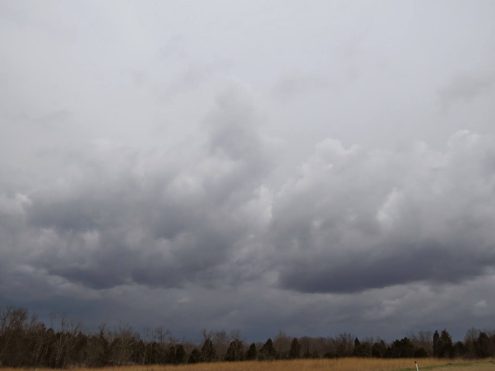
Blue Jay Barrens is about as wet as it can get. A long sequence of storms moving through
during the past week has dropped nearly six inches of rain over the area. Storm clouds moved through once or twice
every day.

The soil, already fully hydrated by over six inches of rain
in March, quickly became saturated and the output of each storm had nowhere to
go but to run overland to the creek. A
storm yesterday afternoon produced 0.8 inches of rain in 15 minutes. The result was a flash flood, the third this
week.

Water from the township road carried red clay particles to
the pond. It looks like a bowl full of
mud, but the water clarity is not as bad as it appears.

A closer examination shows the water to still be fairly
clear. The clay tint makes the dark Wood
Frog tadpoles easy to see.

The
tadpoles have just recently taken on the traditional tadpole shape and become
free swimming. If these rains persist,
there will be no problem of the pond drying up before the tadpoles transform
into little hoppers.

The diversions around the vegetable garden have been working
overtime this spring. The garden sits in
a level area that was formed by eroded soil being trapped by an elevated roadway. Without the diversions, water would inundate
the garden after every rain.

After each storm, I check to see that the female Carolina
Wolf Spider is alive and well. So far,
she seems to have been unaffected by even the heaviest of rains.
Small upland waterways swell to wide streams as the water
quickly rushes downhill. After each rain
event, I try to get down to the creek to see how the increased water flow moves
through the channel.

The quickest way to the creek is over the hill. Even in the driest, most well drained
locations, water still stands on the surface.

Five minutes after the rain has stopped, concentrated water
flow is still pouring from small woodland watersheds along the creek.

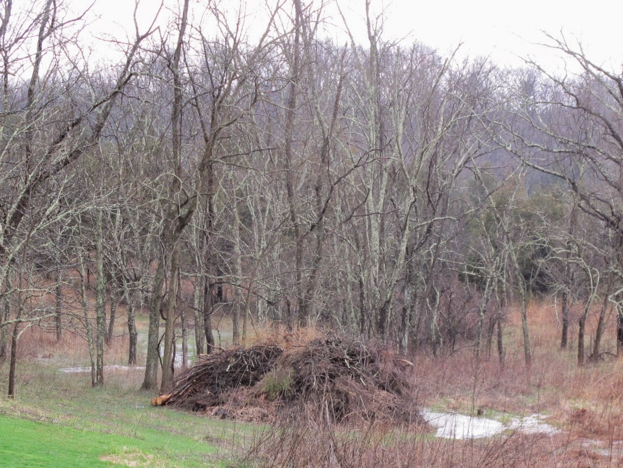
Water running from these woodland areas is generally clear,
but it carries a heavy load of leaves.
The result is a mosaic of bare ground and thick piles of leaves. This will influence the pattern of plant
growth through the rest of the year.

I’m always relieved when I see the bridges still
intact. All but one of the bridges have
been replaced to an elevation above the record flood level. If we do get a flood capable of tearing out
this bridge, I hope I’m here to see it, because it will be a truly rare and
terrifying event.

Calm and scenic features, such as a small waterfall, are
covered over by the flood. It’s always a
surprise when the water drops and the creek resumes its earlier appearance.

Water pools in the flood plains as it waits for a chance to
seep into the ground. This soil is very
well drained and normally allows rapid water infiltration. Its appearance now makes you think of vernal
pools and amphibian breeding, but given a day without more rain, it will pass
all of this water into the creek.

This is the last bridge needing to be repaired and
elevated. It has been moved and battered
by flood water many times over the years.

Downstream of the bridge is the area blocked by a log jam a
couple of years ago. Since the removal
of the jam, water now flows freely through the channel.

Since I wait for the lightning to clear the area before
venturing out after a storm, I usually miss seeing the water at its highest
level. At the peak of the flood, water
left the creek channel and moved overland.
This area was scoured clean when the water was suddenly blocked by the
formation of a log jam and forced out here.
It’s likely that a new channel will be formed here someday. I could have left the log jam in place and
let the new channel form, but this little area has a nice collection of
woodland flowers that I would like to enjoy for a while longer.

The third of three large bridges is now well above flood
level. This bridge was repaired using
sections of decking from two older bridges.
I think this one is elevated and anchored well enough to withstand any
flood.
I find still photos of rapidly moving water to be lacking in
impact, so I have included a short video that captures the movement and sound
of the angry creek. It is also available
for viewing on YouTube by clicking HERE.